
Cargando...
Finden
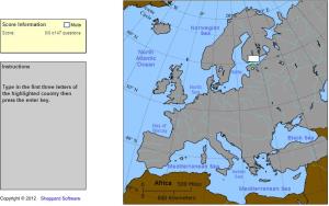
Type the first three letters of the country's name (no outlines given).
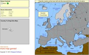
Drag each country onto the map (by region).
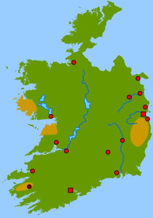
Guess where each given physical feature of Ireland is located on the map.
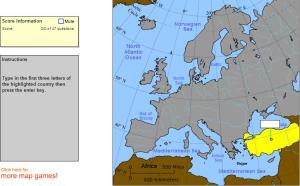
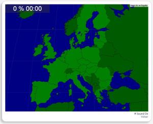
Type the first three letters of the country's name.
Would you know to locate the geographic items you are asked about? You must point out each exact location on the map.
Locate countries are: Austria, Belgium, Bulgaria, Croatia, Cyprus, Czech Republic, ...
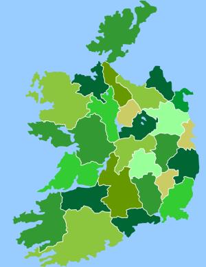
Given the Ireland counties, try to locate it on the map.
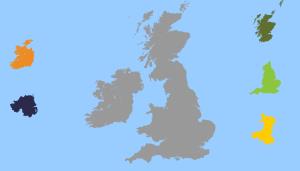
Drop each country to his correct location on the map.
Try to locate on the map each given flag of Europe.
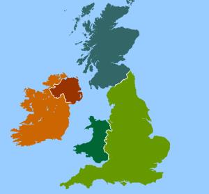
Try to locate on the map each country and it capital of the United Kingdom and Ireland.
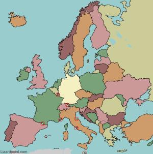
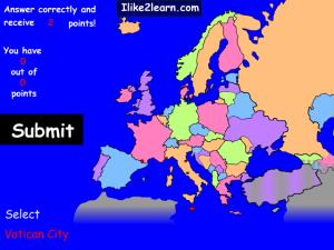
Click on the correct country (no outlines given).
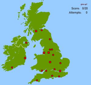
Try to find out on the map each given city of United Kingdom or Ireland.
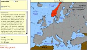
Given the western european country, try to guess where it is located on the map.
Add to Didactalia Arrastra el botón a la barra de marcadores del navegador y comparte tus contenidos preferidos. Más info...


