
Cargando...
5092 mapasInteractivos
textoFiltroFichaÜber diese Ressource...
Interactive map of European Union
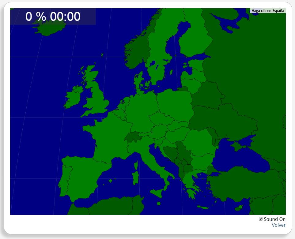
Would you know to locate the geographic items you are asked about? You must point out each exact location on the map.
Locate countries are: Austria, Belgium, Bulgaria, Croatia, Cyprus, Czech Republic, Denmark, Estonia, Finland, France, Germany, Greece, Hungary, Ireland, Italy, Latvia, Lithuania, Luxemburg, Malta, Poland, Portugal, Romania, Slovakia, Slovenia, Spain, Sweden, the Netherlands, the United Kingdom.
Europa
Tipo de Juego ¿Dónde está?
Idioma English
Autores:
Kategorien:
Tags:
Geteilt mit:
Add to Didactalia Arrastra el botón a la barra de marcadores del navegador y comparte tus contenidos preferidos. Más info...

")


Compartir en: