
Cargando...
Trova
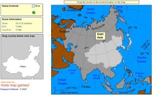
Drag each country onto the map by region.
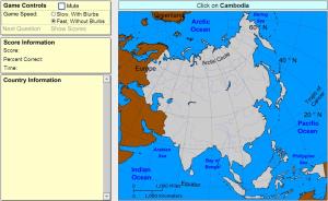
Click on the correct country (no outlines given).
Potrebbe trovare caratteristiche geografiche che vengono richiesti sulla mappa? È necessario indicare ogni posizione precisa sulla mappa.
Individuare le caratteristiche geografiche sono le seguenti: Af ...
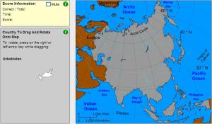
Drag and rotate each country onto the map.
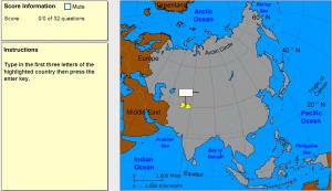
Type the first three letters of the country's name.
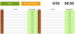
Can you name the world's largest countries in the world?
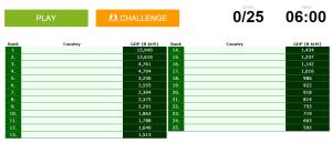
Can you name the world's biggest economies?
You have to click as close as possible to the city requested. Your scores are calculated based on the distance between your click and the true location. There is a time bonus each time.

Would you know to locate the geographic items you are asked about? You must point out each exact location on the map.
Locate countries are: Afghanistan, Algeria, Angola, Argentina, Australia, Bolivia, ...
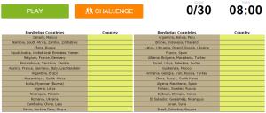
Can you name the countries below from the list of all sovereign countries that they border?
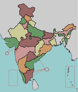
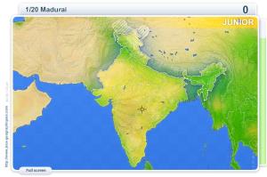
Given the state or the union territory of India, try to find it out on the map.

Potrebbe trovare caratteristiche geografiche che vengono richiesti sulla mappa? È necessario indicare ogni posizione precisa sulla mappa.
Individuare le caratteristiche geografiche sono le seguenti: Af ...
Aggiungere a Didactalia Arrastra el botón a la barra de marcadores del navegador y comparte tus contenidos preferidos. Más info...


