
Cargando...
Trouvez
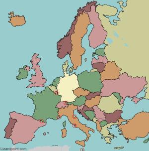
Try to guess where each given european country is located on the map. This map divides Europe along the old soviet nonsoviet influential lines.
Type the first three letters of the country's name (no outlines given).
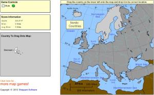
Drag each country onto the map (by region).
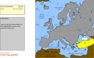
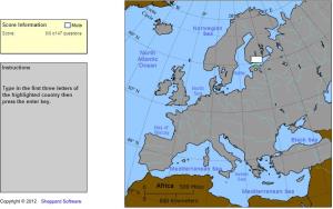
Type the first three letters of the country's name.
Try to locate on the map each given flag of Europe.
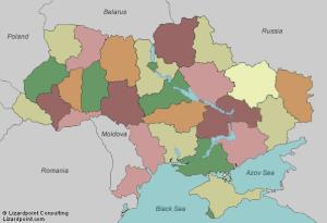
Try to figure out where each given region of Ukraine is located on the map.
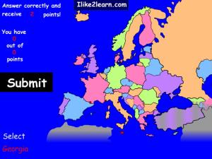
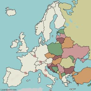
Click on the correct country (no outlines given).
Guess where each given eastern european countries are located on the map.
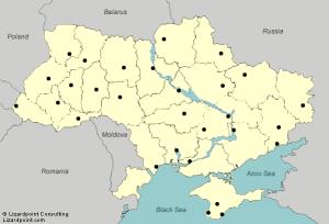
Try to guess where the major cities of Ukraine are located on the map.
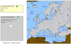
Drag and rotate each country onto the map.
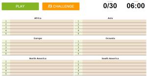
Can you name the largest countries by area on each continent?
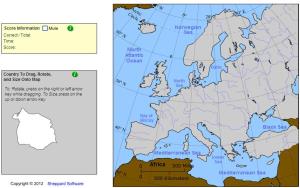
Drag|rotate and size each country onto the map.
Ajouter à Didactalia Arrastra el botón a la barra de marcadores del navegador y comparte tus contenidos preferidos. Más info...


