
Cargando...
5092 mapasInteractivos
textoFiltroFichatipo de documento Go to the web resource
About this resource...
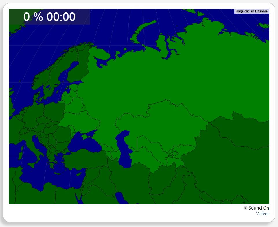
Interactieve kaart van de voormalige Sovjet-Unie
Train je brein met topografie.
Zoek geografische kenmerken zijn: Armenië, Azerbeidjan, Estland, Georgië, Kazachstan, Kirgizië, Letland, Litouwen, Moldavië, Oekraïne, Oezbekistan, Rusland, Tadzjikistan, Turkmenistan, Wit-Rusland.
Asia
Autores:
Shared with:
Add to Didactalia Arrastra el botón a la barra de marcadores del navegador y comparte tus contenidos preferidos. Más info...

")


Compartir en: