
Cargando...
5092 mapasInteractivos
textoFiltroFichaAbout this resource...
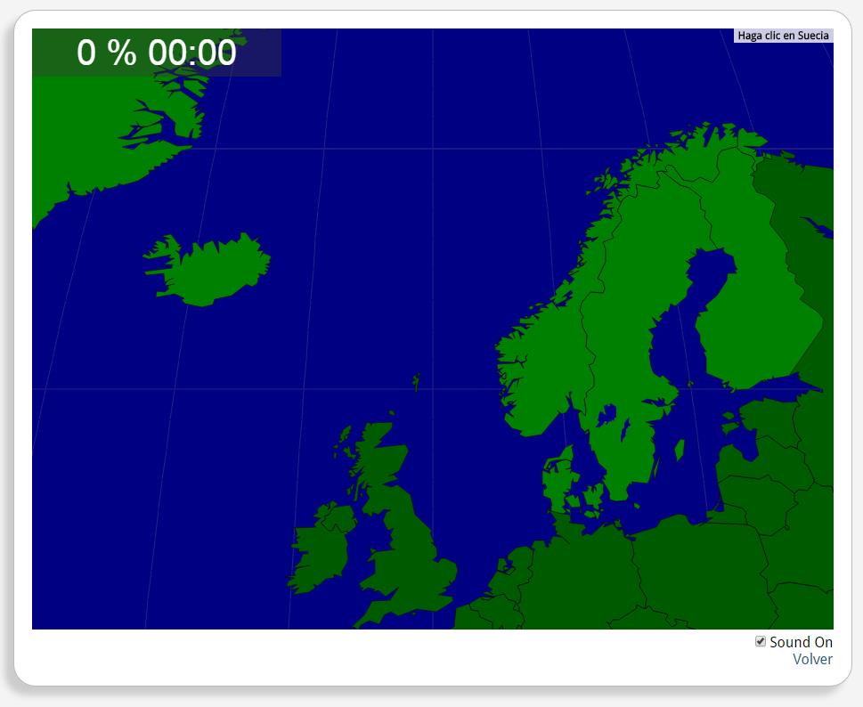
Interactieve kaart van Scandinavië
Train je brein met topografie.
Zoek geografische kenmerken zijn: Denemarken, Finland, IJsland, Noorwegen, Zweden.
Europa
Tipo de Juego Where is?
Idioma Nederlands
Autores:
Shared with:
Add to Didactalia Arrastra el botón a la barra de marcadores del navegador y comparte tus contenidos preferidos. Más info...

")


Compartir en: