
Cargando...
5092 mapasInteractivos
textoFiltroFichaAbout this resource...
Interaktive Weltkarte von Nordeuropa
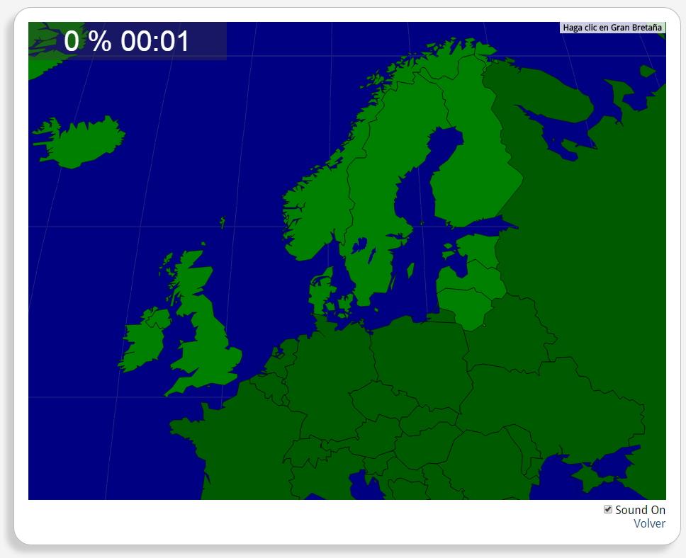
Könntest du, die geographische Objekte ausfindig machen? Du musst auf die Landkarte genau zeigen, wo jeder sich befindet.
Die geographischen objekte, positionieren sollten, sind: Dänemark, Estland, Finnland, Großbritannien, Irland, Island, Lettland, Litauen, Norwegen, Schweden.
Europa
Tipo de Juego Where is?
Idioma Deutsch
Autores:
Tags:
Shared with:
Add to Didactalia Arrastra el botón a la barra de marcadores del navegador y comparte tus contenidos preferidos. Más info...

")


Compartir en: