
Cargando...
5092 mapasInteractivos
textoFiltroFichatipo de documento Interactive map. Where is it?
About this resource...
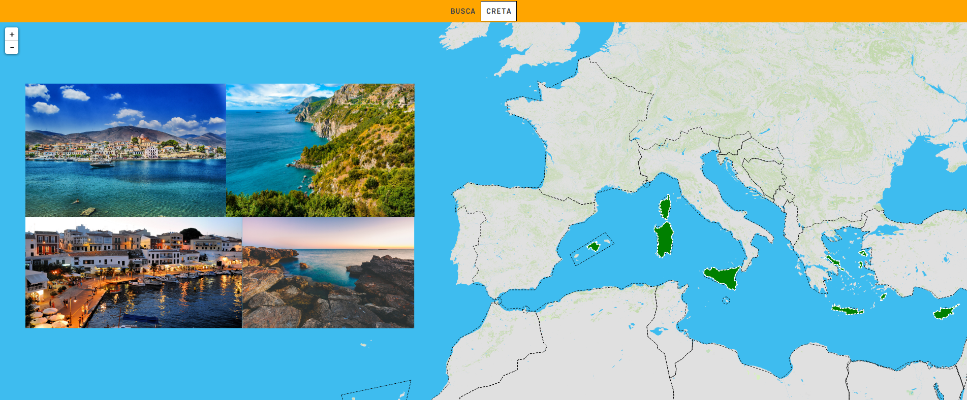
Learn with this interactive game to locate the ten largest islands in the Mediterranean Sea. These are:
Zoom in or out of the map and adjust its size to the screen of your device. You can also click on the map and drag it to center it.
Europa
España
Italia
Greece
Cyprus
Francia
Tipo de Juego Where is?
Idioma Español English Portuguese Català Euskera Galego Français Deutsch Italiano
Fichero GeoSon Download file
Fichero GeoSon Auxiliar Download file
Latitud centro mapa 39.300
Longitud centro mapa 19.852
Zoom 6
Tipo de mapa Político
Autores:
Categories:
Tags:
Shared with:
")
Add to Didactalia Arrastra el botón a la barra de marcadores del navegador y comparte tus contenidos preferidos. Más info...


Compartir en: