
Cargando...
5092 mapasInteractivos
textoFiltroFichaAbout this resource...
Interactive Map of Europe
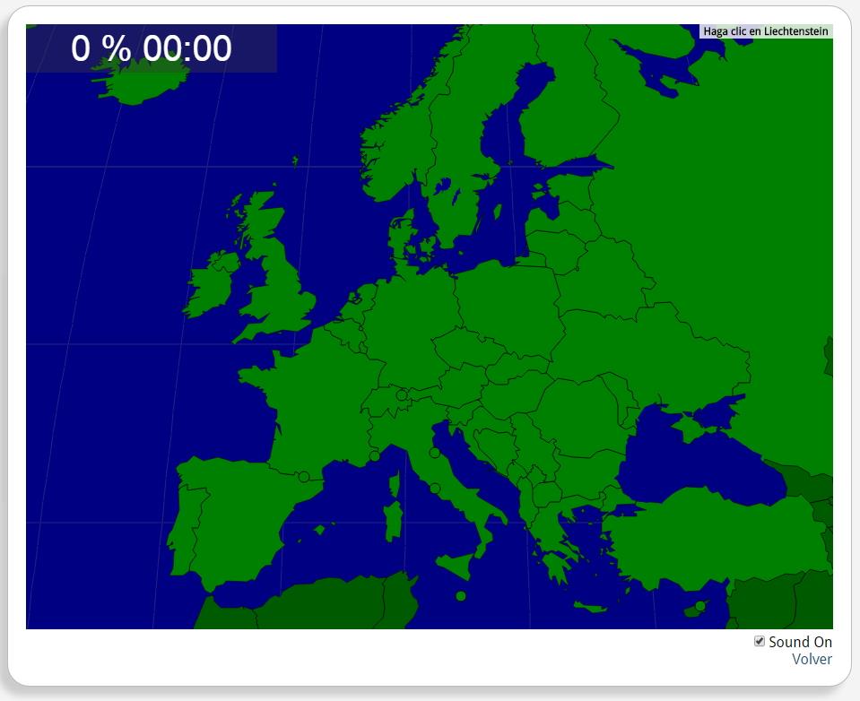
Would you know to locate the geographic items you are asked about? You must point out each exact location on the map.
Locate countries are: Albania, Andorra, Austria, Belarus, Belgium, Bosnia and Herzegovina, Bulgaria, Croatia, Cyprus, Czech Republic, Denmark, Estonia, Finland, France, Germany, Greece, Hungary, Iceland, Ireland, Italy, Kosovo, Latvia, Liechtenstein, Lithuania, Luxemburg, Macedonia, Malta, Moldova, Monaco, Montenegro, Norway, Poland, Portugal, Romania, Russia, San Marino, Serbia, Slovakia, Slovenia, Spain, Sweden, Switzerland, the Netherlands, the United Kingdom, Turkey, Ukraine, Vatican City State.
Europa
Tipo de Juego Where is?
Idioma English
Autores:
Tags:
Shared with:
Add to Didactalia Arrastra el botón a la barra de marcadores del navegador y comparte tus contenidos preferidos. Más info...

")


Compartir en: