
Cargando...
5092 mapasInteractivos
textoFiltroFichatipo de documento Interactive map. What is its name?
About this resource...
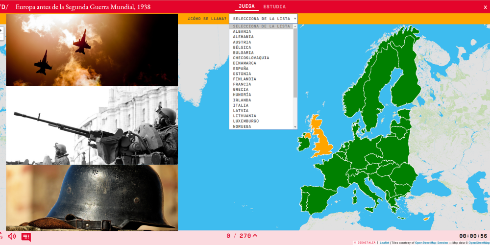
Learn with this interactive game the countries that formed the Europe of 1938 in moments before the Second World War. Choose from the proposed list each country that is pointing to the map.
Enlarge or reduce the map with the zoom and adjust its size to the screen of your device. You can also click on the map and drag it to center it.
Europa
Tipo de Juego What's the name?
Idioma Español English Portuguese Catalá Euskera Galego Français Deutsch Italiano
Fichero GeoSon Download file
Latitud centro mapa 60.50
Longitud centro mapa 4.30
Zoom 5
Tipo de mapa Político
Autores:
Categories:
Tags:
Shared with:
")
Add to Didactalia Arrastra el botón a la barra de marcadores del navegador y comparte tus contenidos preferidos. Más info...


Compartir en: