
Cargando...
5092 mapasInteractivos
textoFiltroFichatipo de documento Interactive map. Where is it?
About this resource...
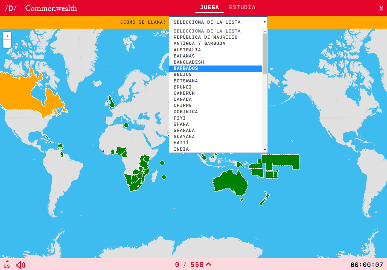
Do you know what is the name of each countries of the Commonwealth shown on the map? Test yourself with this interactive map, you have to choose the right answer from a list of several options.
Zoom in or zoom out the map in order to adjust it to the size of your desktop’s device. You also can click on it and drag to centre the image.
Tipo de Juego What's the name?
Idioma Español English Portuguese Català Euskera Galego Français Deutsch Italiano
Fichero GeoSon Download file
Latitud centro mapa 18.47960905583197
Longitud centro mapa -4.130859375
Zoom 3
Tipo de mapa Político
Autores:
Categories:
Tags:
Shared with:
")
Add to Didactalia Arrastra el botón a la barra de marcadores del navegador y comparte tus contenidos preferidos. Más info...


Compartir en: