
Cargando...
Find

Ydych chi'n gwybod sut i leoli nodweddion daearyddol i gyd yn gywir? Gallwch chi ddangos hyn trwy gwblhau'r map rhyngweithiol gwreiddiol.
Gwledydd o hyd yw: An Aetóip, An Ailgéir, An Cósta Eabhair, An ...
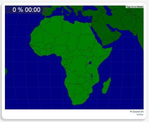
Ydych chi'n gwybod sut i leoli nodweddion daearyddol i gyd yn gywir? Gallwch chi ddangos hyn trwy gwblhau'r map rhyngweithiol gwreiddiol.
Gwledydd o hyd yw: An Aetóip, An Afraic Theas, An Ailgéir, An B ...
Sauriez-vous localiser sur la carte chaque entité géographique? Vous devez indiquer sur la carte exactement où se trouve chacune.
Localiser les entités géographiques sont les suivants: Algérie, Bénin, ...

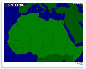
Sauriez-vous localiser sur la carte chaque entité géographique? Vous devez indiquer sur la carte exactement où se trouve chacune.
Localiser les entités géographiques sont les suivants: Abuja, Accra, Ad ...

Potrebbe trovare caratteristiche geografiche che vengono richiesti sulla mappa? È necessario indicare ogni posizione precisa sulla mappa.
Individuare le caratteristiche geografiche sono le seguenti: Ab ...

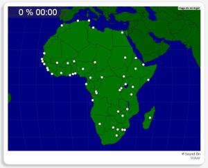
Ydych chi'n gwybod sut i leoli nodweddion daearyddol i gyd yn gywir? Gallwch chi ddangos hyn trwy gwblhau'r map rhyngweithiol gwreiddiol.
Gwledydd o hyd yw: Abuja, Accra, Ādis Ābeba, Antananarivo, Asma ...

Train je brein met topografie.
Zoek geografische kenmerken zijn: Algerije, Benin, Burkina Faso, Centraal Afrikaanse Republiek, Djibouti, Egypte, Eritrea, Ethiopië, Gambia, Ghana, Guinee, Guinee-Bissau, ...

Try to figure out the flag of each given country.
Train je brein met topografie.
Zoek geografische kenmerken zijn: Abuja, Accra, Addis Abeba, Algiers, Antananarivo, Asmara, Bamako, Bangui, Banjul, Bissau, Brazzaville, Bujumbura, Caïro, Conakry, Dakar, ...
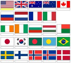
For each selected flag, name the country!
It is an educational content by JetPunk, site that contains a wide variety of quizzes.
Which countries are closest to the Red Sea?
It is an educational content by JetPunk, site that contains a wide variety of quizzes.
Which countries are closest to Oman?
It is an educational content by JetPunk, site that contains a wide variety of quizzes.
Add to Didactalia Arrastra el botón a la barra de marcadores del navegador y comparte tus contenidos preferidos. Más info...


