
Cargando...
5092 mapasInteractivos
textoFiltroFichatipo de documento Gehen Sie auf die Web-Ressource
Über diese Ressource...
Map rhyngweithiolof Britain
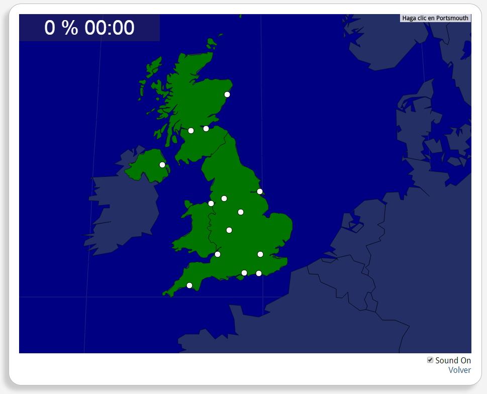
Ydych chi'n gwybod sut i leoli nodweddion daearyddol i gyd yn gywir? Gallwch chi ddangos hyn trwy gwblhau'r map rhyngweithiol gwreiddiol.
Gwledydd o hyd yw: Béal Feirste, Birmingham, Brighton, Briostó, Dún Éideann, Glaschú, Hull, Learpholl, Londain, Manchain, Nottingham, Obar Dheathain, Plymouth, Portsmouth.
Europa
United Kingdom
Autores:
Geteilt mit:
Add to Didactalia Arrastra el botón a la barra de marcadores del navegador y comparte tus contenidos preferidos. Más info...

")


Compartir en: