
Cargando...
5092 mapasInteractivos
textoFiltroFichaÜber diese Ressource...
Interactive Map of Africa
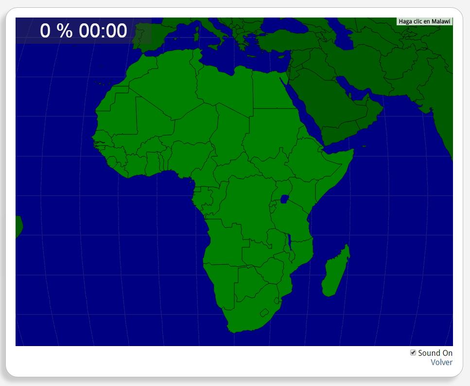
Would you know to locate the geographic items you are asked about? You must point out each exact location on the map.
Locate countries are: Algeria, Angola, Benin, Botswana, Burkina Faso, Burundi, Cameroon, Chad, Democratic Republic of the Congo, Djibouti, Egypt, Equatorial Guinea, Eritrea, Ethiopia, Gabon, Ghana, Guinea, Guinea-Bissau, Kenya, Lesotho, Liberia, Libya, Madagascar, Malawi, Mali, Mauritania, Morocco, Mozambique, Namibia, Niger, Nigeria, Rwanda, Senegal, Sierra Leone, Somalia, South Africa, South Sudan, Swaziland, Tanzania, the Central African Republic, the Congo, the Gambia, the Ivory Coast, the Sudan, Togo, Tunisia, Uganda, Western Sahara, Zambia, Zimbabwe.
África
Tipo de Juego ¿Dónde está?
Idioma English
Autores:
Tags:
Geteilt mit:
Add to Didactalia Arrastra el botón a la barra de marcadores del navegador y comparte tus contenidos preferidos. Más info...

")


Compartir en: