
Cargando...
Encontrar
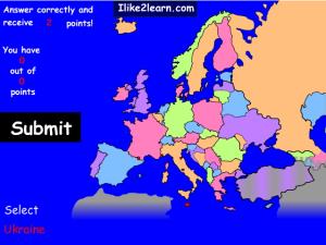
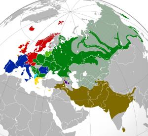
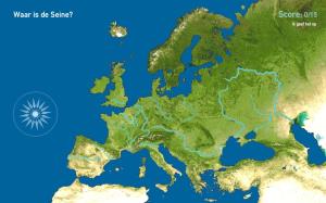
Europe may not be as small as you once thought. Many European countries span across more than one continent. Some people believe these countries belong on the European map, while others may believe th ...
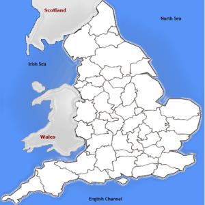
Can you name the ceremonial or geographic counties of England?
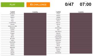
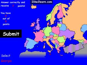
Can you name the European country from its capital?
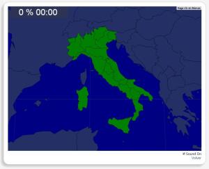
Te proponemos este sencillo mapa interactivo para repasar las regiones que forman parte de Italia, .
Las regiones que debes ubicar son: Abruzos, Apulia, Basilicata, Calabria, Campania, Cerdeña, Emilia- ...
¿Sabes cuántas de las 20 lenguas más habladas del mundo son indoeuropeas? Pon a prueba tus conocimientos con estas 50 preguntas tipo test sobre lenguas indoeuropeas.
Tren hjernen med geografi.
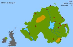
Try to figure out where each given physical feature of Northern Ireland is located on the map?
Sauriez-vous localiser sur la carte chaque entité géographique? Vous devez indiquer sur la carte exactement où se trouve chacune.
Localiser les entités géographiques sont les suivants: Albanie, Allemag ...
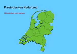
Train je brein met topografie.Es un mapa de la colección EastDock Media.
Train je brain met topografie.
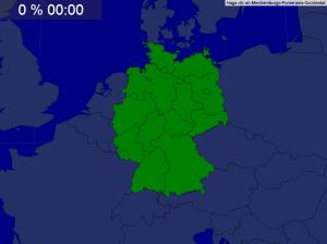
Mapa interactivo de Alemania en el que se trata de identificar todos sus estados federados.
Try to guess where each given european country is located on the map. This map divides Europe along the old soviet nonsoviet influential lines.
Europe may not be as small as you once thought. Many European countries span across more than one continent. Some people believe these countries belong on the European map, while others may believe th ...
Can you name the European country from its capital?
Te proponemos este sencillo mapa interactivo para repasar las regiones que forman parte de Italia, .
Las regiones que debes ubicar son: Abruzos, Apulia, Basilicata, Calabria, Campania, Cerdeña, Emilia- ...
¿Sabes cuántas de las 20 lenguas más habladas del mundo son indoeuropeas? Pon a prueba tus conocimientos con estas 50 preguntas tipo test sobre lenguas indoeuropeas.
Try to figure out where each given physical feature of Northern Ireland is located on the map?
Sauriez-vous localiser sur la carte chaque entité géographique? Vous devez indiquer sur la carte exactement où se trouve chacune.
Localiser les entités géographiques sont les suivants: Albanie, Allemag ...
Train je brein met topografie.Es un mapa de la colección EastDock Media.
Mapa interactivo de Alemania en el que se trata de identificar todos sus estados federados.
Try to guess where each given european country is located on the map. This map divides Europe along the old soviet nonsoviet influential lines.
Adicionar ao Didactalia Arrastra el botón a la barra de marcadores del navegador y comparte tus contenidos preferidos. Más info...


