
Cargando...
Trova
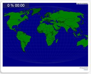
Completo mapa interactivo para repasar los países más grandes del mundo.
Los países a localizar son los siguientes: República Centroafricana, Afganistán, Alemania, Angola, rabia Saudita, Argelia, Arge ...
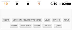
Click the correct country by region.
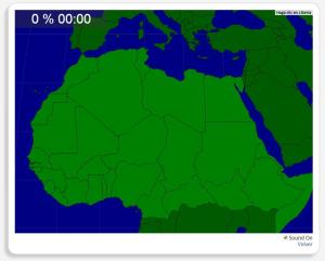
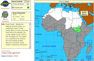
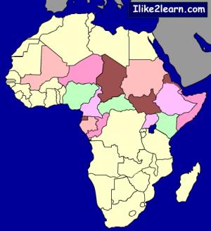
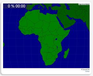
Con este interesante mapa interactivo de África podrás trabajar la localización de los países que forman el África Septentrional.
Estos son los países que has de situar: República Centroafricana, Argel ...
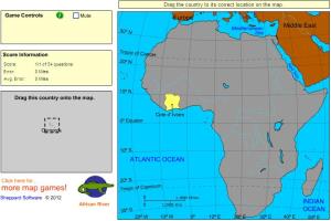
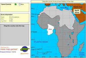
Drag each country onto the map.
Drag the countries onto the map by region.
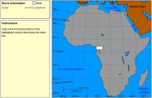
Type the first three letters of the country's name (no outlines given).
Test your knowledge of Africa by taking this Africa map quiz.
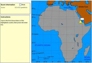
Type the first three letters of the country's name.
Can you pick the 10 most populous African countries in order from most populous to least without making a mistake?
Would you know to locate the geographic items you are asked about? You must point out each exact location on the map.
Locate countries are: Algeria, Angola, Benin, Botswana, Burkina Faso, Burundi, Came ...
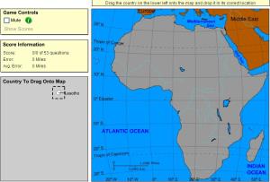
Drag each country onto the map (countries disappear).
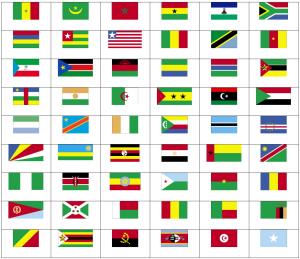
Can you name the flags of Africa?
Aggiungere a Didactalia Arrastra el botón a la barra de marcadores del navegador y comparte tus contenidos preferidos. Más info...


