
Cargando...
5092 mapasInteractivos
textoFiltroFichaÀ propos de cette ressource...
Interactive Map of Europe
Would you know to locate the geographic items you are asked about? You must point out each exact location on the map.
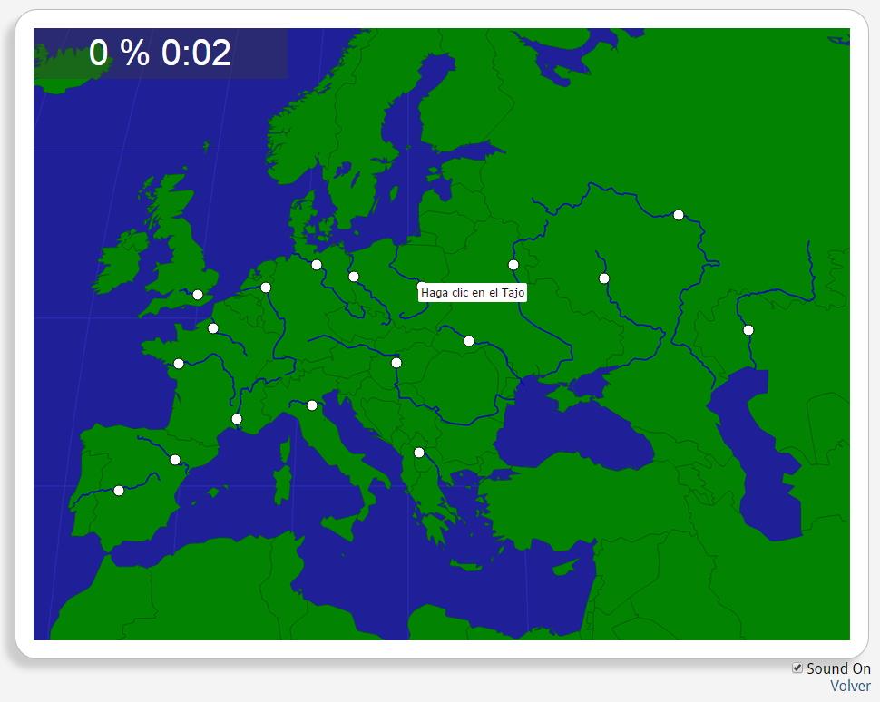
Locate countries are: the Danube, the Dnieper, the Dniester, the Don, the Ebro, the Elbe, the Loire, the Oder, the Po, the Rhine, the Rhone, the Seine, the Tagus, the Thames, the Ural, the Vardar, the Vistula, the Volg.
Europa
Tipo de Juego Où se trouve?
Idioma English
Autores:
Étiquettes:
Partagé avec :
Si ya eres usuario, Inicia sesión
")
Ajouter à Didactalia Arrastra el botón a la barra de marcadores del navegador y comparte tus contenidos preferidos. Más info...


Compartir en: