
Cargando...
Trouvez
visualisation
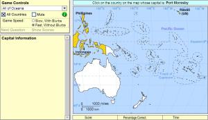
Pick the correct country for the highlighted capital.
Drag|rotate and size each country onto the map.
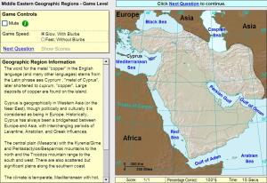
Click on the correct geographic region.
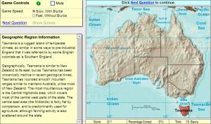
Click on the correct geographic region.
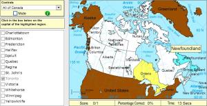
Pick the correct capital for the highlighted province or territory.
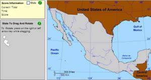
Drag and rotate each state onto the map.
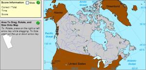
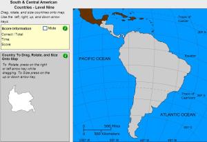
Drag, rotate and size each province or territory onto the map.
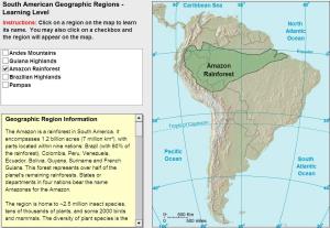
Learn the geographic regions of South and Central America by clicking on them.
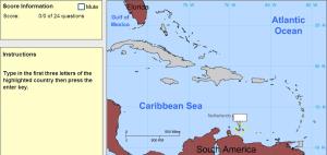
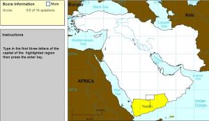
Type the first three letters of the name of the highlighted capital.
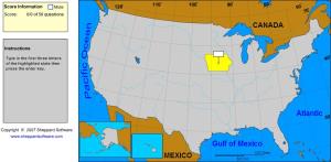
Type the first three letters of the state's name.
Type the first three letters of the name of the country's capital.
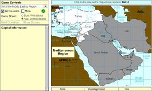
Pick the correct country for the highlighted capital by region.
Ajouter à Didactalia Arrastra el botón a la barra de marcadores del navegador y comparte tus contenidos preferidos. Más info...


