
Cargando...
Trouvez
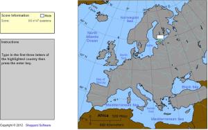
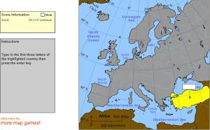
Type the first three letters of the country's name (no outlines given).
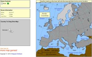
Drag each country onto the map (by region).
Type the first three letters of the country's name.
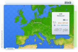
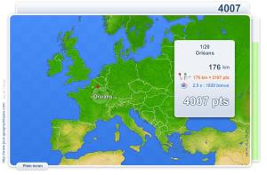
You have to click as close as possible to the city requested. Your scores are calculated based on the distance between your click and the true location. There is a time bonus each time.
Tren hjernen med geografi.
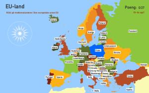
Sauriez-vous localiser sur la carte chaque Pays? Vous devez indiquer sur la carte exactement où se trouve chacun.
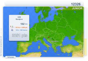
You have to click as close as possible to the city requested. Your scores are calculated based on the distance between your click and the true location. There is a time bonus each time.
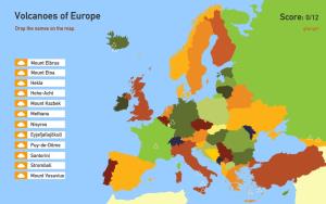
You have 15 seconds to pointing in the correct way each volcano is indicating.
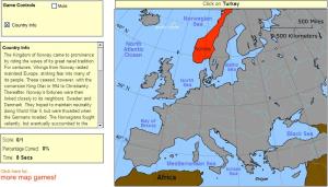
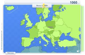
Click on the correct country (no outlines given).
Vous devez cliquer le plus près possible de la ville demandée. Vos résultats sont calculés en fonction de la distance entre votre clic et l'emplacement exact. Il y a un ...
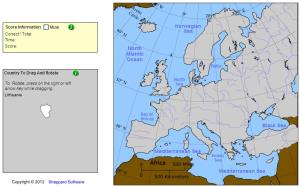
Drag and rotate each country onto the map.
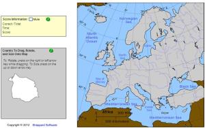
Drag|rotate and size each country onto the map.
Ajouter à Didactalia Arrastra el botón a la barra de marcadores del navegador y comparte tus contenidos preferidos. Más info...


