
Cargando...
5092 mapasInteractivos
textoFiltroFichatipo de documento Interactive map. What is its name?
About this resource...
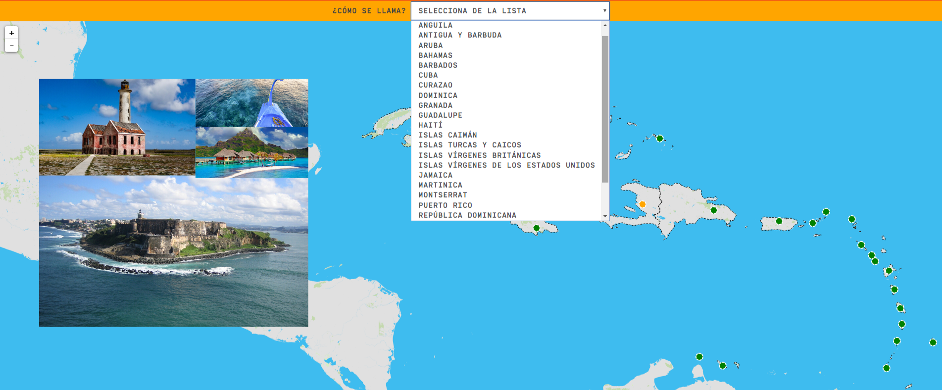
Locate the different countries and territories of the Caribbean. In this game you will find:
Zoom in or out of the map and adjust its size to the screen of your device. You can also click on the map and drag it to center it.
Anguilla
Antigua and Barbuda
Aruba
Bahamas
Barbados
Cuba
Curaçao
Dominica
Grenada
Guadeloupe
Haiti
Cayman Islands
Turks and Caicos Islands
British Virgin Islands
U.S. Virgin Islands
Jamaica
Martinique
Tipo de Juego What's the name?
Idioma Español English Portuguese Català Euskera Galego Français Deutsch Italiano
Fichero GeoSon Download file
Fichero GeoSon Auxiliar Download file
Latitud centro mapa 16.812
Longitud centro mapa -70.774
Zoom 7
Tipo de mapa Político
Autores:
Categories:
Tags:
Shared with:
")
Add to Didactalia Arrastra el botón a la barra de marcadores del navegador y comparte tus contenidos preferidos. Más info...


Compartir en: