5092 mapasInteractivos

textoFiltroFicha

First World War: Europe in 1914

tipo de documento

2
  • I like 0
  • Visits 744
  • Comments 0
  • Actions

About this resource...

Juega tantas veces como desees hasta el fin del plazo Juega tantas veces como desees hasta el
Open Close
TITLE
Start
10/12/2019 12:00:00
HOUR
End
23/12/2019 12:00:00
HOUR
Bonus
500
Plays
Classification
First World War: Europe in 1914
Idioma Deutsch English Español Euskera Galego Italiano Français Portuguese Catalá
Fichero GeoSon Download file
Tipo de mapa Político
Latitud centro mapa 55.4
Longitud centro mapa 21.8
Zoom 4
Where is?
Torneo activo No
Personal ranking
Ranking
Imformation
Ranking

Descripción

Descripción

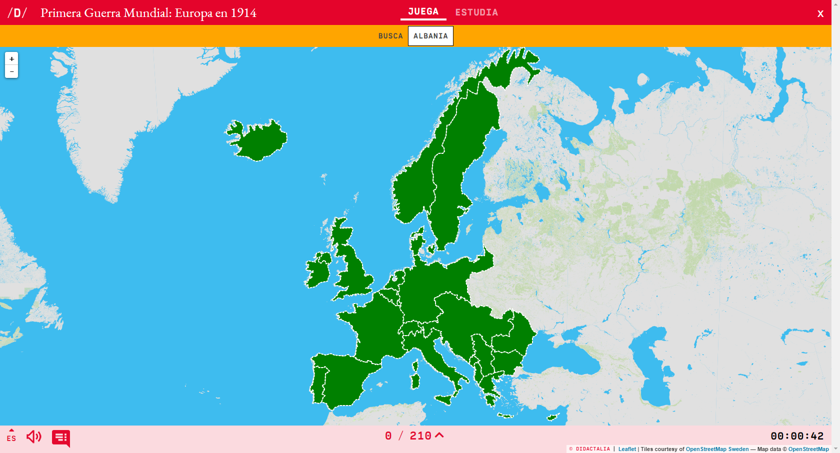
Would you know how to place on the map all the countries that made up the map of Europe prior to the First World War (1914)? Check it out with this fun map of Didactalia.

Enlarge or reduce the map with the zoom and adjust its size to the screen of your device. You can also click on the map and drag it to center it.

Categories:

Fecha publicación: 10.12.2019

Play WITHOUT ADVERTISING and enjoy extra utilities

ESRI

Do you want to access more educational content?

Sign in Join a class
x

Add to Didactalia Arrastra el botón a la barra de marcadores del navegador y comparte tus contenidos preferidos. Más info...

Game help
Juegos de anatomía
Selecciona nivel educativo