
Cargando...
5092 mapasInteractivos
textoFiltroFichaAbout this resource...
Interactieve kaart van Europa
Train je brein met topografie.
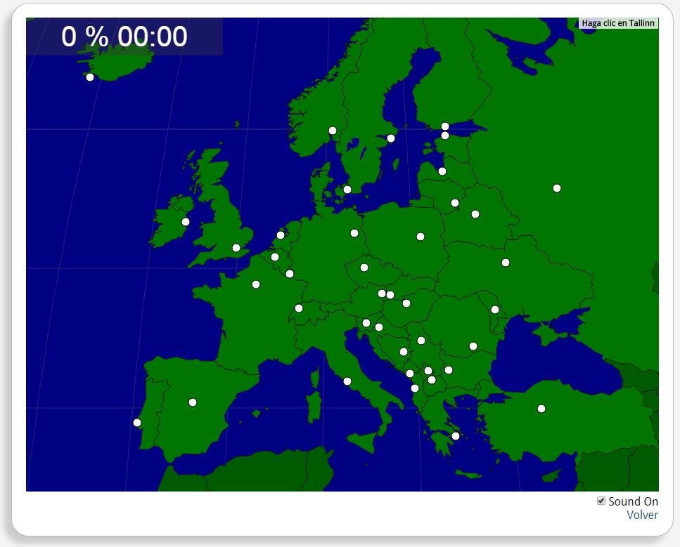
Zoek geografische kenmerken zijn: Amsterdam, Ankara, Athene, Belgrado, Berlijn, Bern, Boedapest, Boekarest, Bratislava, Brussel, Chisinau, Dublin, Helsinki, Kiev, Kopenhagen, Lissabon, Ljubljana, Londen, Luxemburg, Madrid, Minsk, Moskou, Oslo, Parijs, Podgorica, Praag, Pristina, Reykjavik, Riga, Rome, Sarajevo, Skopje, Sofia, Stockholm, Tallinn, Tirana, Vilnius, Warschau, Wenen, Zagreb.
Europa
Tipo de Juego Where is?
Idioma Nederlands
Autores:
Tags:
Shared with:
Add to Didactalia Arrastra el botón a la barra de marcadores del navegador y comparte tus contenidos preferidos. Más info...

")


Compartir en: