
Cargando...
5092 mapasInteractivos
textoFiltroFichaAbout this resource...
Map rhyngweithiol o Ffrainc
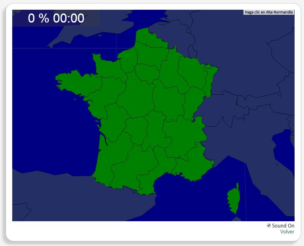
Ydych chi'n gwybod sut i leoli nodweddion daearyddol i gyd yn gywir? Gallwch chi ddangos hyn trwy gwblhau'r map rhyngweithiol gwreiddiol.
Gwledydd o hyd yw: Alsace, Aquitaine, Auvergne, Basse-Normandie, Bourgogne, Breizh, Centre, Champagne-Ardenne, Corsica, Franche-Comté, Haute-Normandie, Île-de-France, Languedoc-Roussillon, Limousin, Lorraine, Midi-Pyrénées, Nord-Pas-de-Calais, Pays de la Loire, Picardie, Poitou-Charentes, Provence-Alpes-Côte d'Azur, Rhône-Alpes.
Europa
Francia
Tipo de Juego Where is?
Idioma Gaeilge
Autores:
Tags:
Shared with:
Add to Didactalia Arrastra el botón a la barra de marcadores del navegador y comparte tus contenidos preferidos. Más info...

")


Compartir en: