
Cargando...
Find
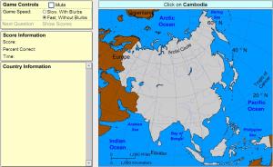
Click on the correct country (no outlines given).
Potrebbe trovare caratteristiche geografiche che vengono richiesti sulla mappa? È necessario indicare ogni posizione precisa sulla mappa.
Individuare le caratteristiche geografiche sono le seguenti: Af ...
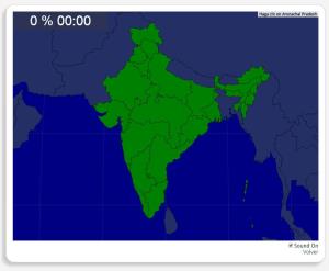
Mapa interactivo de la India en el que se trata de identificar sus estados y territorios.
Las zonas que debes ubicar son: Andhra Pradesh, Arunachal Pradesh, Assam, Bengala Occidental, Bihar, Delhi, Goa ...
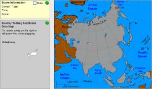
Drag and rotate each country onto the map.
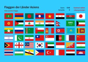
Klicken Sie auf jedes der 48 Flaggen zur Verfügung und Detail, um welches Land es gehört.Es un mapa de la colección EastDock Media.
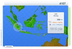
You have to click as close as possible to the city requested. Your scores are calculated based on the distance between your click and the true location. There is a time bonus each time.
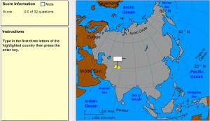
Type the first three letters of the country's name.
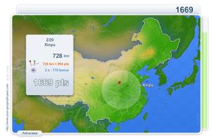
You have to click as close as possible to the city requested. Your scores are calculated based on the distance between your click and the true location. There is a time bonus each time.
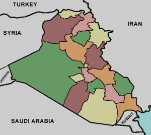
Try to locate on the map each given province of Iraq.
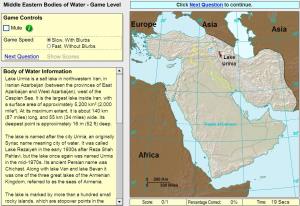
Click on the correct sea or bay.
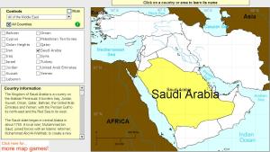
Click on Middle East countries to find their names.
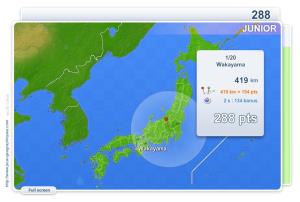
You have to click as close as possible to the city requested. Your scores are calculated based on the distance between your click and the true location. There is a time bonus each time.
Add to Didactalia Arrastra el botón a la barra de marcadores del navegador y comparte tus contenidos preferidos. Más info...


