
Cargando...
Find
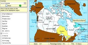
Pick the correct capital for the highlighted province or territory.
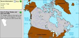
Drag, rotate and size each province or territory onto the map.
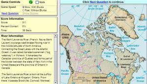
Click on the correct river.
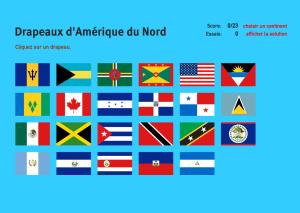
Cliquez sur chacun des 23 drapeaux disponibles et détail à quel pays d'Amérique du Nord ils appartient.Es un mapa de la colección EastDock Media.
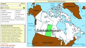
Click on Canadian provinces or territories to find their names.
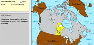
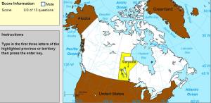
Type the first three letters of the province or territory's name.
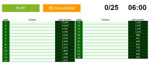
Can you name the world's biggest economies?

Would you know to locate the geographic items you are asked about? You must point out each exact location on the map.
Locate countries are: Afghanistan, Algeria, Angola, Argentina, Australia, Bolivia, ...
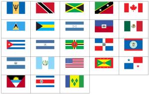
Can you name the flags of North America?
Sauriez-vous localiser sur la carte chaque entité géographique? Vous devez indiquer sur la carte exactement où se trouve chacune.
Localiser les entités géographiques sont les suivants: Afghanistan, Afr ...
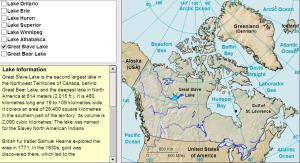
Learn the lakes of Canada by clicking on them.
Type the first three letters of the name of the province or territory's capital.
Add to Didactalia Arrastra el botón a la barra de marcadores del navegador y comparte tus contenidos preferidos. Más info...


