
Cargando...
Find

Você poderia localizar características geográficas que são solicitados no mapa? Você deve marcar uma localização exata no mapa.
Localize características geográficas são: Andaluzia, Aragão, Astúrias, Ba ...
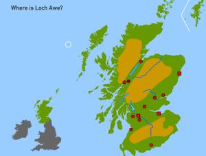
Given the physical feature of Scotland, try to locate it on the map.
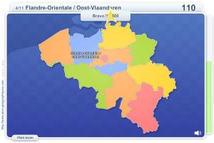
Sauriez-vous localiser sur la carte chaque Province? Vous devez indiquer sur la carte exactement où se trouve chacune.
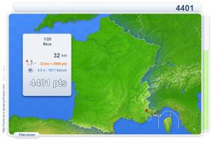
Vous devez cliquer le plus près possible de la ville demandée. Vos résultats sont calculés en fonction de la distance entre votre clic et l'emplacement exact. Il y a un ...
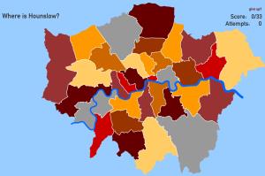
Try to locate on the map each given borough of London.
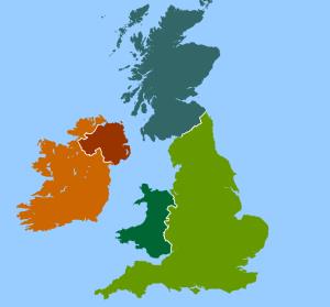
Try to locate on the map each country and it capital of the United Kingdom and Ireland.
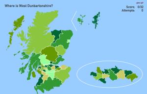
Try to figure out where each given council area of Scotland is located on the map.
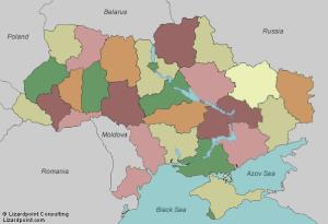
Try to figure out where each given region of Ukraine is located on the map.
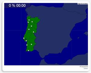
Mapa interactivo de Portugal en el que se trata de identificar las distintas ciudades que existen.
Estos son las ciudades que has de situar: Beja, Braga, Castelo Branco, Coimbra, Lisboa, Oporto, Portim ...
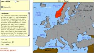
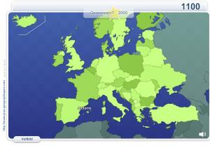
Click on the correct country (no outlines given).
Könntest du, die geographische Objekte ausfinding machen? Du musst auf die Landkarte genau zeigen, wo jeder sich befindet.
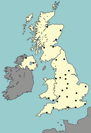
Try to locate on the map the major cities of United Kingdom.
Add to Didactalia Arrastra el botón a la barra de marcadores del navegador y comparte tus contenidos preferidos. Más info...


