
Cargando...
Finden
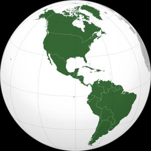
América tiene una superficie de más de 42 milones de km², cubriendo el 8,3 % de la superficie total del planeta y el 30,2 % de la tierra emergida, y además concentra cerca de ...
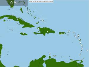
¿Sabrías localizar sobre el mapa todos los países de El Caribe? Ponte a prueba con este divertido mapa interactivo.
Identifica donde se ubican los diferentes países en las Antillas. Diviértete mientras aprendes un poquito de cultura general del mapa político antillano..
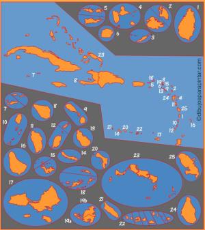
Mapa interactivo del mundo en el que se trata de identificar las islas que existen.
Las islas que debes ubicar son: Isla de Baffin, Bali, Borneo, Célebes, Cerdeña, Chipre, Córcega, Creta, Cuba, Español ...
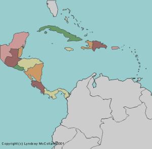
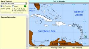
Try to guess where each given country of Central America and the Caribbean is located on the map.
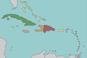
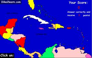
Try to locate on the map the given countries of the Caribbean.
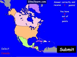
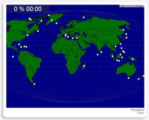
The North American map contains more countries than you probably thought. Learn the North American countries with this map game.
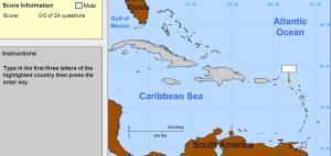
Type in the first three letters of the country's name.
Cruise the Caribbean countries and the locations of these countries with this free map quiz.
Click on the correct country (you may select regions).
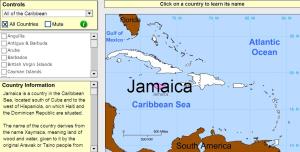
Click on countries of the Caribbean to find out their names.

Könntest du, die geographische Objekte ausfindig machen? Du musst auf die Landkarte genau zeigen, wo jeder sich befindet.
Die geographischen objekte, positionieren sollten, sind: Baffininsel, Bali, Ban ...
Add to Didactalia Arrastra el botón a la barra de marcadores del navegador y comparte tus contenidos preferidos. Más info...


