
Cargando...
Finden
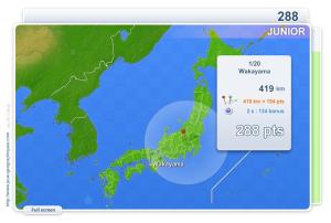
You have to click as close as possible to the city requested. Your scores are calculated based on the distance between your click and the true location. There is a time bonus each time.
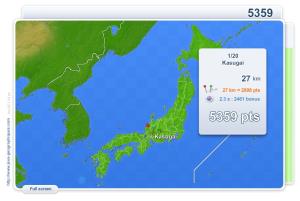
You have to click as close as possible to the city requested. Your scores are calculated based on the distance between your click and the true location. There is a time bonus each time.
Train je brein met topografie.Es un mapa de la colección EastDock Media.
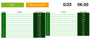
Can you name the world's biggest economies?
Könntest du, die geographische Objekte ausfindig machen? Du musst auf die Landkarte genau zeigen, wo jeder sich befindet.Es un mapa de la colección EastDock Media.
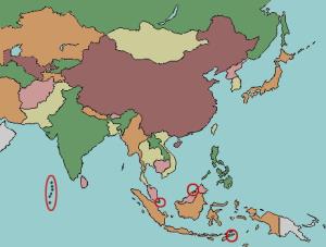
Can you name the world's island nations?

Train je brein met topografie.
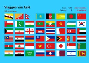
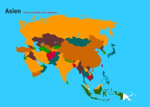
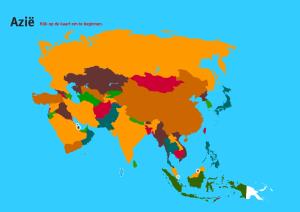
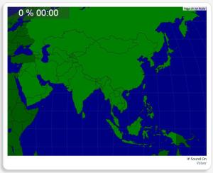
Zoek geografische kenmerken zijn: Afghanistan, Armenië, Azerbeidjan, Bangladesh, Bhutan, Cambodja, China, Filippijnen, Georgië, India, Indonesië, Irak, Iran, Israël, Japa ...
Train je brein met topografie.Es un mapa de la colección EastDock Media.
Given the country of Asia, try to find it out on the map.
Könntest du, die geographische Objekte ausfindig machen? Du musst auf die Landkarte genau zeigen, wo jeder sich befindet.
Die geographischen objekte, positionieren sollten, sind: Afghanistan, Armenien, ...
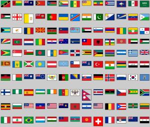
Click on the flag of each given country.
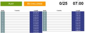
Can you name the countries with the longest coastlines?
Add to Didactalia Arrastra el botón a la barra de marcadores del navegador y comparte tus contenidos preferidos. Más info...


