
Cargando...
Troba
visualització
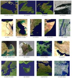
Based on the given satellite images, guess what country or territory is pictured in.
It is an educational content by JetPunk, site that contains a wide variety of quizzes.
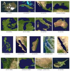
Guess what country or territory is pictured in these satellite images.
It is an educational content by JetPunk, site that contains a wide variety of quizzes.
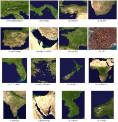
Based on the satellite images, can you guess the countries or territories they represent?
It is an educational content by JetPunk, site that contains a wide variety of quizzes.
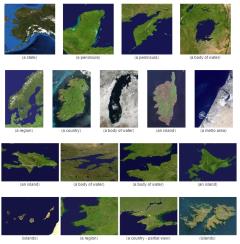
Given these satellite images, guess what is pictured in.
It is an educational content by JetPunk, site that contains a wide variety of quizzes.
Afegir a Didactalia Arrastra el botón a la barra de marcadores del navegador y comparte tus contenidos preferidos. Más info...


